Risk management made wildfire-resilient
For Insurance, Financial Markets, Corporate, Land Owners and Governments.
We take great pride in our data, which is the basis for our models. The risk scores can be directly used to evaluate the vulnerability and support asset comparison and risk flagging.

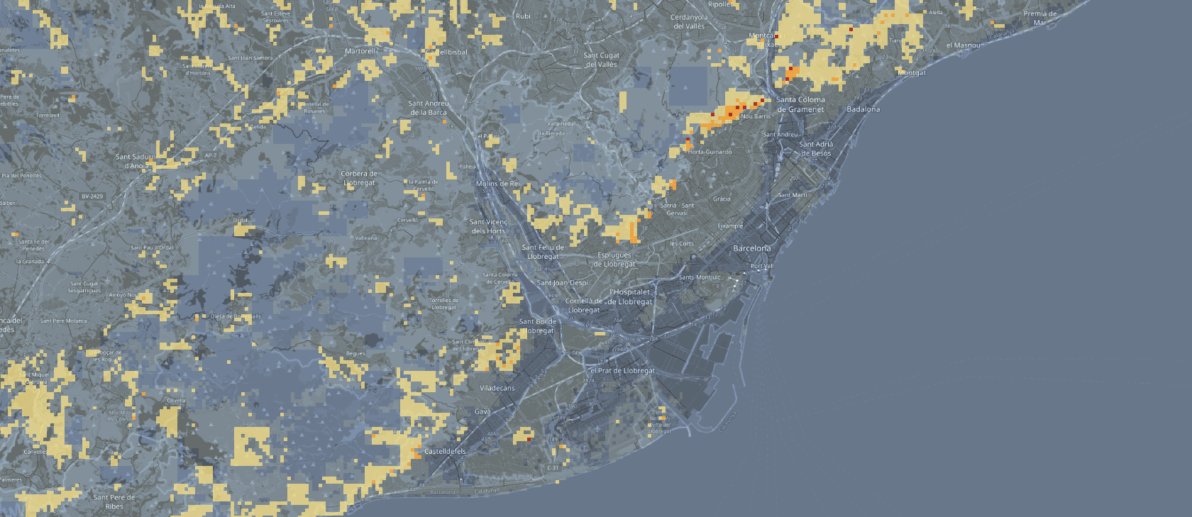
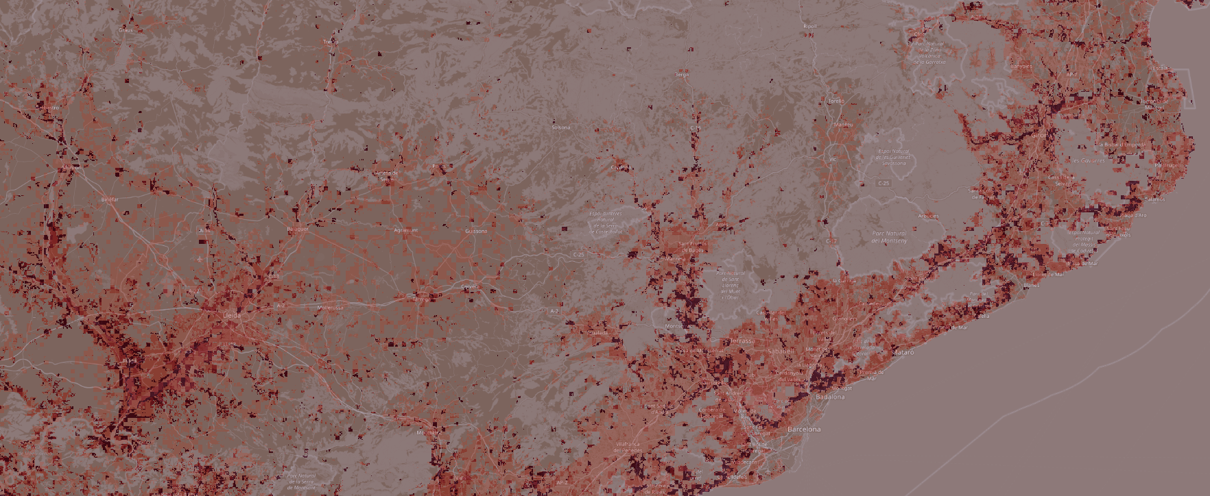
Our wildfire risk maps combine multiple model factors relevant for wildfire ignition probabillities, including detailed vegetation types, their burn probabilities and weather climate models.

Our loss modelling capabilities use monte carlo simulations to evaluate your portfolio in 10,000 possible wildfire scenarios. Our models can be used as a basis for portfolio evaluation, insurance pricing and loss exposure curves.

In Good Company
Our exposure models are built on top of the industry standard Oasis Loss Modelling Framework. We follow open standards and work with the industry to co-develop our models.

Climate-resilient Reporting
Make sure your operations take into account risks imposed by climate change and strengthen your exposure evaluation, reporting & decision-making.
Manage Portfolio Risks
While wildfire seasons become more extreme, manage your portfolio at a new level by understanding your assets exposure to extreme wildfire events.
Use Trusted Wildfire Models
Build on top of state-of-the-art research and expertise while building your products and services with accurate risk data.
Contact
Copyright 2024 TerraGrid. All rights reserved. Powered by Endurus.